ASCE 7-22 and the International Building Code require site-specific ground motion analysis when local soil conditions can amplify seismic waves—and in Phoenix, the deep sedimentary basin makes this a critical step. The Phoenix basin, filled with thousands of feet of alluvial deposits eroded from surrounding ranges, traps and modifies seismic energy in ways that standard hazard maps don't capture. Our seismic microzonation studies bridge that gap by combining field shear-wave velocity profiling with one-dimensional and two-dimensional site response modeling, producing design spectra mapped block by block. For projects in the downtown basin or near the Salt River paleochannels, we often integrate these models with a CPT investigation to refine the stratigraphic layering and with MASW surveys to extend Vs profiles beyond discrete borehole locations, ensuring the final zonation map reflects real subsurface variability rather than interpolation artifacts.
The Phoenix basin amplifies long-period motion up to 3x relative to rock outcrop—ignoring site effects here means designing for the wrong earthquake.
Methodology and scope
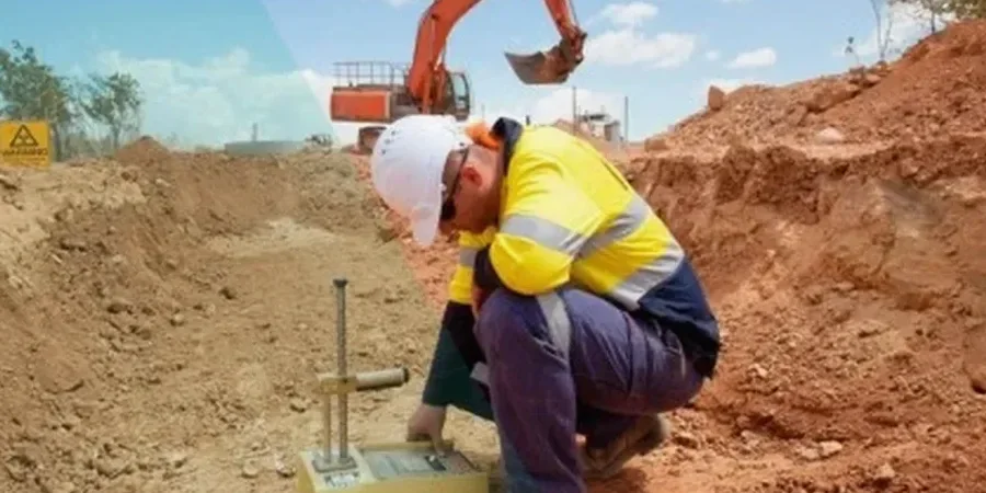
Local ground factors
Phoenix sits in a transition zone: moderate seismicity from the San Andreas and Basin and Range faults, combined with a basin geometry that amplifies long-period motion disproportionately. The 2015 Black Canyon City M4.1 event, though modest, generated basin reverberation felt across north Phoenix for nearly ten seconds—a preview of what a magnitude 6.5 on the nearby Big Chino or McDowell faults could produce. The primary risk is not spectacular ground rupture but rather the amplification of 1–3 second spectral acceleration in the soft basin center, which directly affects mid-rise and high-rise structures. A standard code spectrum based on Vs30 alone misses this effect; our microzonation captures it by modeling the full impedance contrast between the basin fill and the crystalline basement, preventing under-designed lateral systems that would suffer excessive drift during a real event.
Applicable standards
ASCE 7-22 Minimum Design Loads (Chapter 21: Site-Specific Ground Motion Procedures), 2024 IBC Section 1613 Earthquake Loads, ASTM D7400 Standard Test Methods for Downhole Seismic Testing, ASTM D4428/D4428M Crosshole Seismic Testing, USGS 2024 National Seismic Hazard Model
Related services
Site-Specific Response Analysis
We develop design response spectra and acceleration time histories tailored to your parcel using equivalent-linear or nonlinear codes, accounting for Phoenix basin depth, impedance contrasts, and near-surface shear-wave profiles measured in situ.
Liquefaction Microzonation Mapping
Using CPT and SPT data tied to the microzonation grid, we map the factor of safety against liquefaction across the site for the design earthquake, identifying zones where densification or ground improvement is mandatory per IBC.
Typical parameters
Questions and answers
What does a seismic microzonation study cost in the Phoenix area?
Microzonation studies in the Phoenix metro typically range from US$4,760 for a single-parcel screening on a small lot to US$18,790 for a multi-block campaign with full two-dimensional basin modeling and deep Vs profiling. The final price depends on the grid density, depth to bedrock, and whether CPT or downhole seismic calibration is required. We provide a fixed-scope proposal after reviewing the geotechnical baseline and project structural plans.
When does ASCE 7 require site-specific ground motion analysis instead of the default code spectrum?
ASCE 7-22 Section 21.2 triggers the requirement when the site class is D or E with S1 greater than 0.2g, or when the structure is on a deep basin where long-period amplification may exceed code predictions. Most of central Phoenix falls into this category due to the sedimentary basin depth exceeding 5,000 feet. Our analysis generates design spectra that replace the standard mapped values, submitted as part of the geotechnical report for peer review.
What's the difference between a site class determination and a full microzonation?
A site class determination gives you a single Vs30 value and a corresponding code spectrum for one location. A microzonation maps how ground motion varies spatially across the site—showing, for example, that the southwest corner may experience 40% higher spectral acceleration than the northeast corner because the basin depth changes. For large footprints, hospitals, or tall buildings, the microzonation prevents uniform design where conditions are anything but uniform.
How long does a Phoenix microzonation study take from field work to final report?
A typical study takes three to five weeks. The first week covers the surface wave acquisition and any downhole seismic or CPT calibration. The following two to three weeks are dedicated to data processing, inversion, and site response modeling. We deliver a draft report for review in week four, with the final stamped report following within one week of receiving comments.